Software development · Maps and vehicle workflows
Custom map and navigation software development in Japan
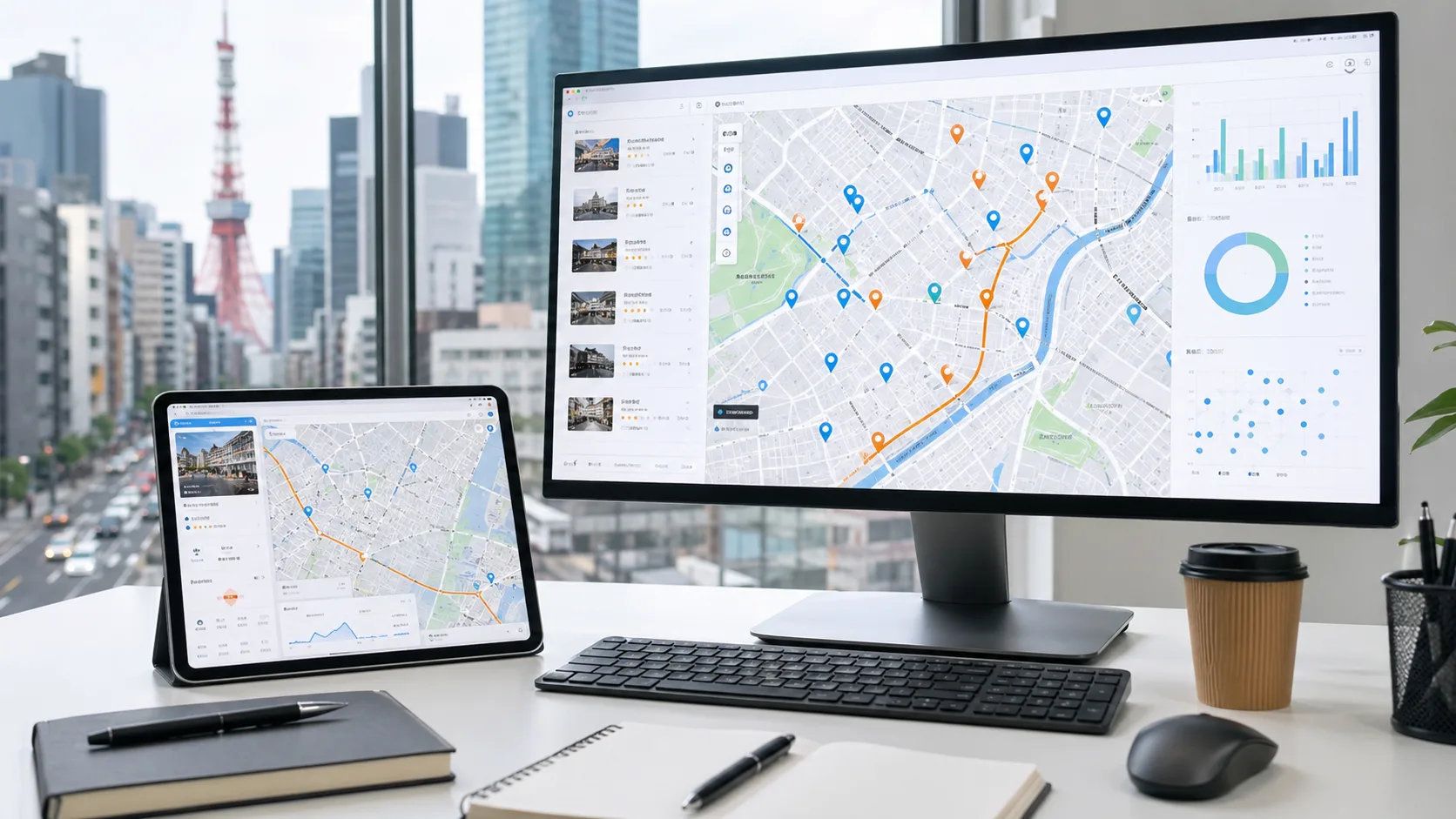
Japanese businesses do not always need a full in-car navigation product. Many need something more practical: a map dashboard, delivery workflow, route planning screen, driver view, customer status page, or location-based admin system that fits how their team actually works.
Japan has strong demand for software that connects vehicles, people, routes, and places. Logistics teams need better visibility, tourism operators need multilingual guidance, field service teams need dispatch clarity, and property or facility operators need map interfaces that make information easier to act on.
IT Support in Tokyo develops map-based web and mobile products around those workflows. We help define the first useful release, design the UI, connect map and routing services, build the backend, and prepare the system for ongoing operation.
What we build around maps and navigation
Fleet and delivery dashboards
Vehicle views, job lists, route screens, delivery status, driver notes, customer updates, and admin dashboards for day-to-day operations.
Navigation UI and route planning
Interfaces for stops, directions, travel estimates, route options, exceptions, and mobile field use. The routing provider is selected around region, cost, and workflow.
Location-based business systems
Search, filters, service areas, nearby discovery, saved places, permissions, content management, analytics, and APIs that turn a map into an operating tool.
High-demand niches in Japan
- Fleet, delivery, courier, and last-mile operations
- Field service dispatch for maintenance, repair, inspection, and IT support teams
- Tourism, hotels, ryokan, and local guide systems for inbound visitors
- Property, facility, event, and marketplace products that depend on location
Key decisions before development
Define the operational problem
Start with the workflow: fewer phone calls, faster dispatch, clearer delivery progress, better guest directions, or cleaner service-area visibility.
Choose map and routing providers carefully
Coverage, traffic data, address quality, route limits, attribution rules, pricing, and supported devices vary. We compare these before committing.
Design for real conditions
Drivers and field teams use small screens, weak connections, changing schedules, and messy addresses. The product needs list views, fallback states, and clear exception handling.
Protect location data
Precise location data should be collected only when needed, with clear permissions, retention rules, and access controls for staff and customers.
Why this fits our work
Our portfolio includes DaVinci Map, a map-based marketplace for discovering shops and services, and iS Gather, a location-based social product. Those projects connect directly to map UI, nearby discovery, mobile flows, and backend systems. A new vehicle or navigation project would be scoped around the exact operational need rather than assuming an OEM car-navigation build.
See portfolio examplesA practical first-release plan
We would start with one workflow and one user group: dispatcher, driver, field technician, hotel guest, or admin. Then we map the screens, data, provider choices, and launch constraints. The first release should prove the route, job, or location workflow before adding advanced automation.
Market and technical references
These sources point to the demand and the technical choices behind map and navigation software in Japan: