Map and Navigation Software Development in Japan: A High-Demand Niche
Key takeaways
A practical funnel article for Japanese businesses that need fleet dashboards, route planning, delivery tracking, field service dispatch, tourism maps, or location-based software.
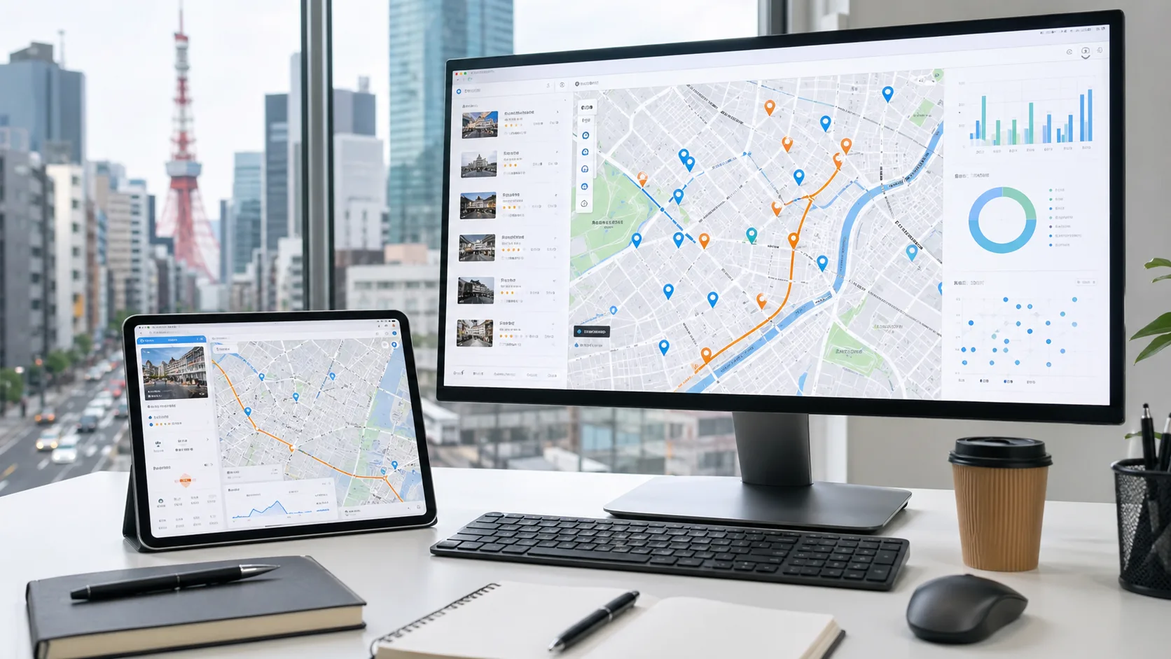
Map and navigation software is one of the more practical software service niches in Japan right now. The opportunity is not only in building full in-car navigation systems for automakers. For most businesses, the urgent need is simpler and easier to buy: map dashboards, route planning tools, delivery tracking pages, field-service dispatch systems, tourism maps, and location-based admin software.
Why this niche is worth targeting
Japan has overlapping pressure from logistics efficiency, labor shortages, inbound tourism, aging infrastructure, and growing expectations for real-time status. A company may not search for “custom software development” first. It may search for a concrete operational need: route planning software, fleet dashboard, delivery tracking system, map-based dispatch, or multilingual tourism guide.
That makes map software a stronger funnel angle than broad software development. It speaks to a problem the buyer already recognizes.
The best-fit industries
- Fleet and delivery: delivery routes, vehicle visibility, driver notes, customer status pages, route exceptions, and admin dashboards.
- Field service: dispatch for repair, inspection, maintenance, IT support, cleaning, and onsite service teams.
- Tourism and hospitality: hotel guest maps, ryokan area guides, local recommendations, multilingual directions, and itinerary tools.
- Property and facilities: map search, service areas, visitor wayfinding, maintenance locations, and facility dashboards.
- Marketplaces and local discovery: map-based discovery for shops, services, communities, events, and regional platforms.
What businesses usually need
A practical map product usually combines three layers. The first is the map experience: search, filters, markers, clusters, routes, service areas, and detail panels. The second is the workflow: jobs, stops, drivers, customers, bookings, tickets, or places. The third is the operating system behind it: accounts, permissions, admin tools, analytics, APIs, and support processes.
That is why map software should not be treated as only a visual feature. The map is the interface for a business operation.
Navigation UI is different from car navigation
There is a useful distinction here. A business may ask for “navigation,” but it may not need an OEM-grade car navigation system. It may need a navigation UI around stops, recommended routes, directions, arrival windows, status updates, or handoff instructions.
For route calculation and in-app navigation, providers such as Google Maps Platform can be evaluated during scoping. The right provider depends on region, travel mode, pricing, usage limits, attribution rules, traffic data, and device requirements.
What to decide before development
- The main user: dispatcher, driver, technician, guest, customer, admin, or manager.
- The main workflow: assign a job, plan a route, find a place, show delivery status, inspect a site, or guide a visitor.
- The data source: internal database, customer CSV, booking system, CRM, inventory, GPS feed, or third-party place data.
- The map provider: selected around coverage, cost, licensing, device support, and route requirements.
- Location privacy: when location is collected, who can see it, how long it is kept, and how users are informed.
Why IT Support in Tokyo fits this niche
IT Support in Tokyo already works across web development, app development, backend systems, cloud infrastructure, and multilingual interfaces. Our portfolio includes DaVinci Map, a map-based marketplace for discovering shops and services, and iS Gather, a location-based social product. Those projects connect naturally to map UI, nearby discovery, mobile flows, and backend operations.
For a new map or navigation project, the right first release should be focused. It might be one dispatcher dashboard, one driver workflow, one hotel guest map, or one field-service route screen. Once the workflow proves useful, automation and deeper integrations can follow.
Example first release
A good first release for a fleet or field team might include:
- admin login and user roles
- job or stop management
- map view with locations and status
- driver or technician mobile view
- route link or travel estimate integration
- customer status page or notification flow
- basic reporting and export
This is enough to prove whether the map workflow reduces calls, speeds up dispatch, improves customer communication, or gives managers better visibility.
Planning a map software project in Japan?
If your team needs software around vehicles, delivery, routes, field service, tourism, or local discovery, start with the workflow. Tell us what users need to see on the map, what action they need to take, and where the current process breaks. Contact IT Support in Tokyo to plan a practical first version.
Need a focused map software plan?
We can help scope fleet dashboards, route planning tools, field dispatch systems, tourism maps, and location-based web or mobile apps for Japan. Discuss a map software project.